Mapas
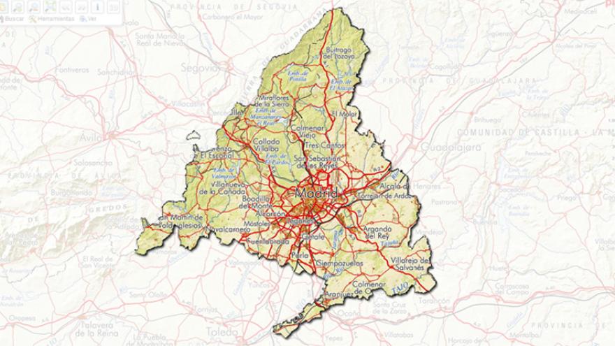
Conoce el territorio de la Comunidad a través de los mapas
Geoportal de la Infraestructura de Datos Espaciales de la Comunidad de Madrid
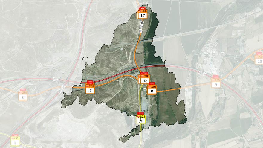
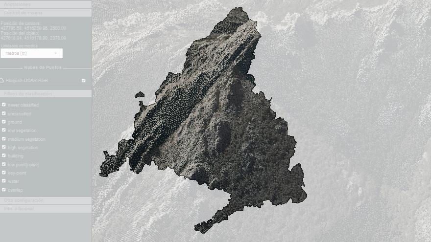
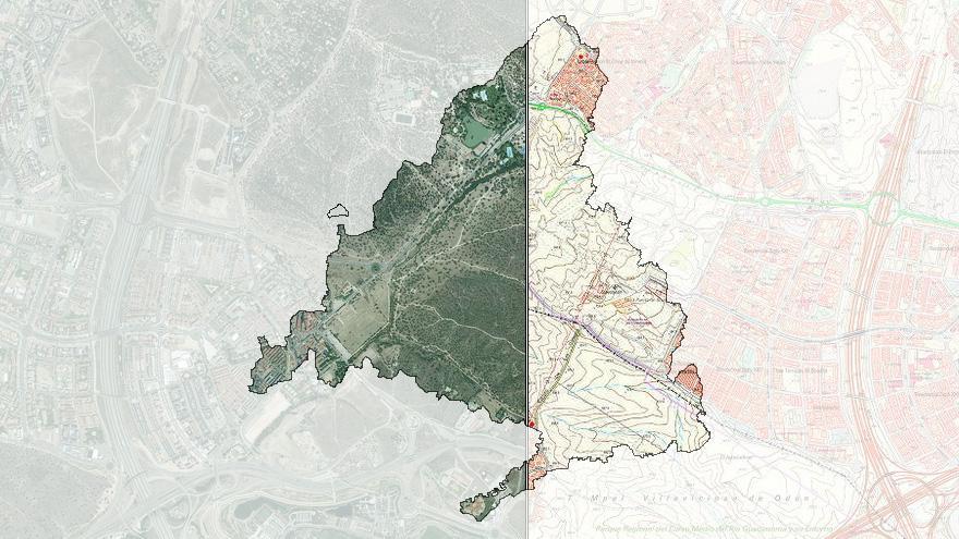
Accede a la información geográfica de la Comunidad de Madrid mediante diferentes Visores temáticos de cartografía, un Catálogo de Información Geográfica para consulta de metadatos y descarga de cartografía, y el acceso a diferentes servicios de visualización.
¡¡¡No te lo pierdas!!!
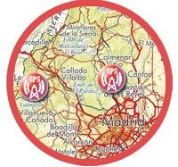
Estaciones Permanentes GNSS
Estas estaciones pueden ser utilizadas para conseguir posicionamiento sobre el territorio de la Comunidad de Madrid de alta precisión


